Subject: Mississippi River
Period: 1881-85 (published)
Publication:
Color: Black & White
Size:
23.8 x 14.8 inches
60.5 x 37.6 cm
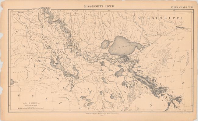
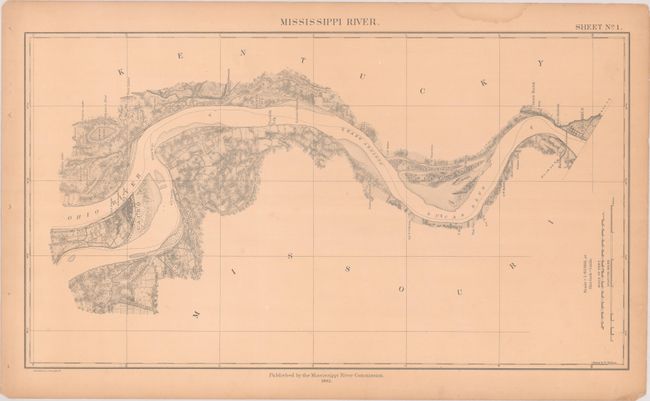
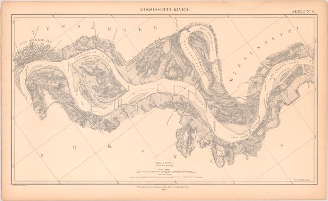
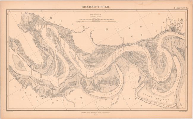
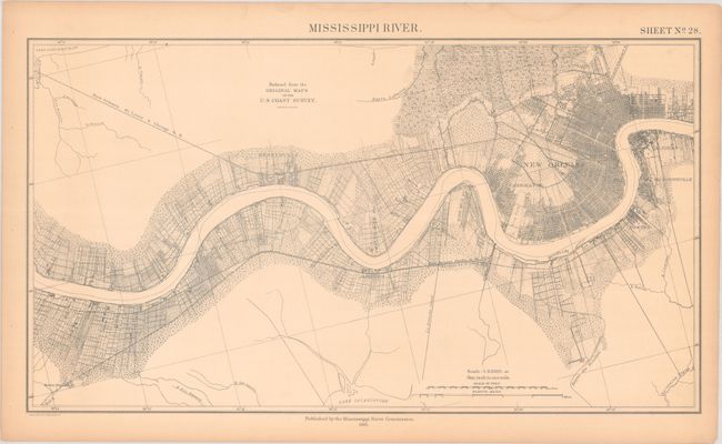
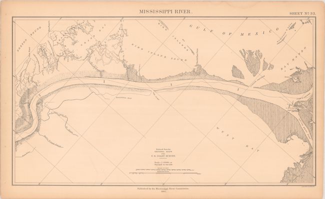
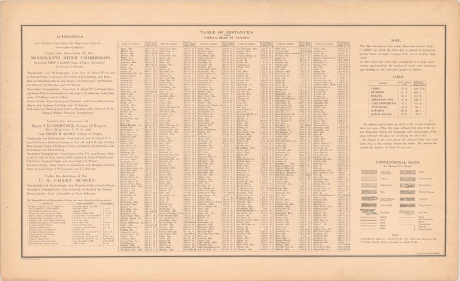
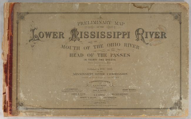
This impressive portfolio consists of 3 index maps and 31 (of 32) detailed maps that follows the course of the Mississippi River from Cairo, Illinois to the entrance of the Gulf of Mexico (missing only sheet #18). The maps feature a remarkable amount of information related to the river including islands, shoals, mileages, etc., as well as details along the shoreline including individual property owner names/boundaries, types of agriculture via symbols, towns, cities and railroads. On a detailed scale of 1 mile per inch. The maps were published by the recently established Mississippi River Commission, which was created by Congress in 1879 with the goal of improving the conditions on the Mississippi River to aid in navigation, accelerate commerce, and prevent catastrophic flooding. Three separate government agencies assisted with this ambitious survey: the Mississippi River Commission, the Corps of Engineers, and the Coast Survey Office. Includes a table of distances from Cairo. Lithographed by Edward Molitor. Oblong folio. Disbound, printed paper boards are present.
References: Phillips (Maps) p. 442.
Condition: B
The maps are good to near fine with most being very good. There is some light toning that is more prominent in the first seven sheets, occasional small spots, and a small dampstain in the upper blank margins throughout. Title page is moderately toned.
Covers are detached and are moderately worn and stained.


