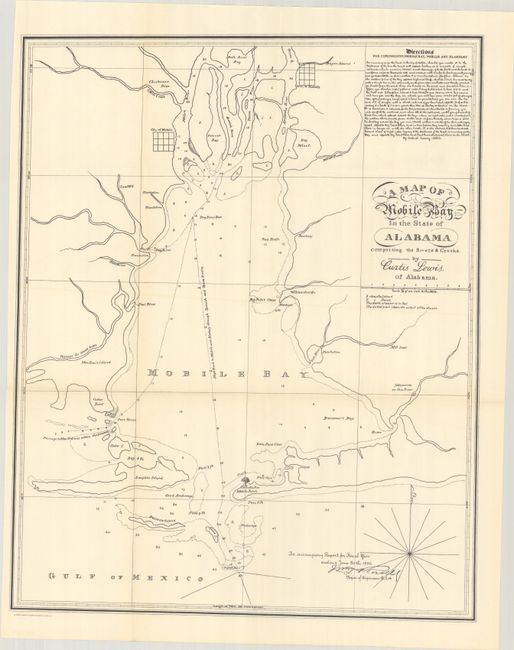
Subject: Mobile Bay, Alabama
Period: 1896 (dated)
Publication:
Color: Black & White
Size:
16.3 x 20.5 inches
41.4 x 52.1 cm
This is an 1896 War Department reprint of the rare, well-executed and detailed survey map of Mobile Bay by Curtis Lewis in 1820, prior to the surveys of the U.S. Coast Survey. The chart covers all of bay with soundings, shoals, and safe passages noted. It further locates the city of Mobile, town of Blakely, a number of rivers, and several islands. An 1822 Congressional report used the chart in locating a fort and referred to it as a “chart by Curtis Lewis of Alabama, describing the entrance into Mobile Bay…taken in 1820, apparently with great accuracy.” In addition to his talent as a chart maker, Lewis was an inspector of revenue for the Port of Mobile who pursued and captured pirate Paddy Scott.
References:
Condition: A+
Issued folding on a clean bright sheet.


