Catalog Archive
Auction 201, Lot 218
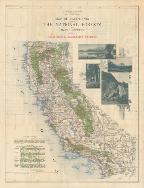
Early Map Promoting Tourism in California's National Forests
"Map of California Showing National Forests and Main Highways District 5 California's Recreation Grounds", U.S. Geological Survey (USGS)
Subject: California
Period: 1916 (circa)
Publication:
Color: Printed Color
Size:
18.5 x 24.5 inches
47 x 62.2 cm
Download High Resolution Image
(or just click on image to launch the Zoom viewer)
(or just click on image to launch the Zoom viewer)


