Subject: Marin County, California
Period: 1925 (dated)
Publication:
Color: Printed Color
Size:
23 x 16.8 inches
58.4 x 42.7 cm
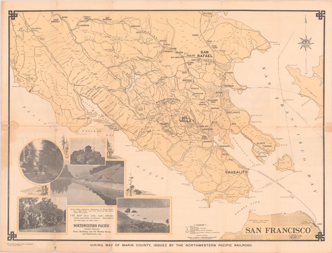
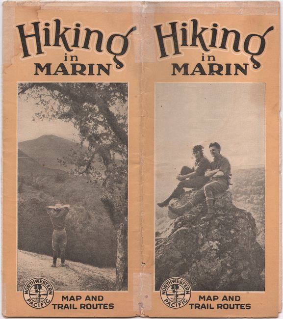
This map was issued by the Northwestern Pacific Railroad and displays the numerous miles of hiking trails available in Marin County. The map extends from San Francisco to Sausalito, Mill Valley, San Rafael and beyond with a legend at bottom identifying trails, fire roads, fire places, convenience stations, and more. Further locates Muir Woods, Mount Tamalpais, and Fort Baker Military Reservation. Related text and illustrations on verso. We found only one example of this apparent first edition map on OCLC. Self-folding into pictorial wrappers (4.1 x 9.1").
References:
Condition: B
Issued folding with some light dampstaining along the fold junctions. There are several archival repairs to short fold separations on verso with some minor loss at the fold junctions.


