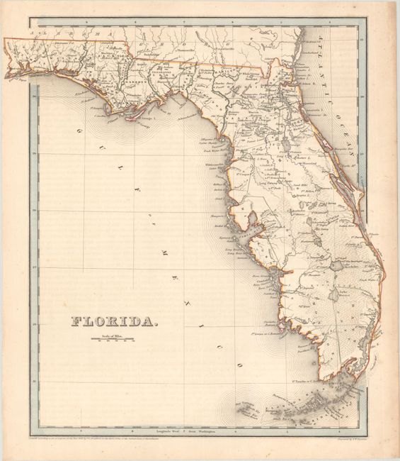
Subject: Florida
Period: 1838 (dated)
Publication: An Illustrated Atlas, Geographical, Statistical, and Historical, of the United States...
Color: Hand Color
Size:
12.8 x 14.1 inches
32.5 x 35.8 cm
This 1838 edition of Bradford's map of Florida was published a few years before statehood. County configuration is current to 1837 with Dade County appearing at the southern tip of the state, although Hillsborough only occupies a portion of the Gulf Coast and a huge Mosquito County dominates the east. Lake Okeechobee (here Lake Macaco) is located with better accuracy, however another lake directly to its north is named Lake Okeechobee. There is better information in central Florida, evidence of further exploration in the area. Several Spanish land grants have disappeared, with only Arredondo and Miranda remaining. Numerous forts are noted throughout, and battle sites are marked in northern Mosquito County. Engraved by G.W. Boynton.
References:
Condition: B+
Contemporary outline color on a lightly toned sheet with minor foxing and faint offsetting from an opposing page of text.


