Subject: Florida
Period: 1936 (dated)
Publication:
Color: Printed Color
Size:
27.1 x 26.6 inches
68.8 x 67.6 cm
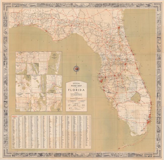
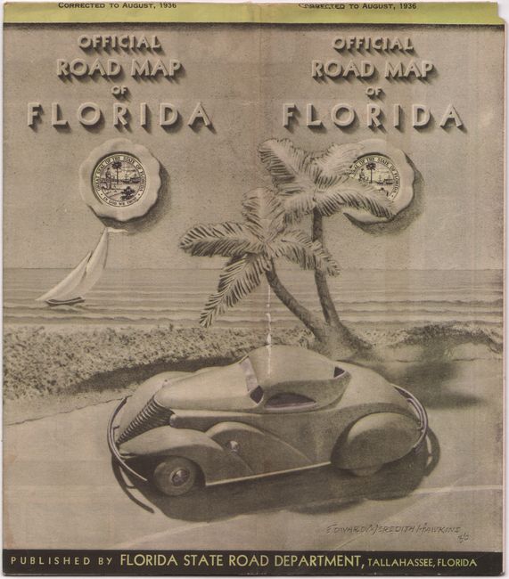
This detailed map of the state was published by the Florida State Road Department in Tallahassee. Principle roads are shown in red, other paved roads in black, and unpaved roads are in black outline and are "advisable to make local inquiry." The road network is surprisingly evolved for the time with principal roads covering the entire state, including the 125-mile stretch of Florida Keys. 11 small insets of the larger cities in the state are illustrated along with an index to counties and cities. The map is attractively surrounded by a pictorial border with 60 vignettes of Florida sites, life and leisure. Folds into pictorial wrappers (4.1 x 9.1").
References:
Condition: B+
Issued folding with some light color offsetting.


