Subject: Southern Florida
Period: 1956 (dated)
Publication:
Color: Printed Color
Size:
29.6 x 21.4 inches
75.2 x 54.4 cm
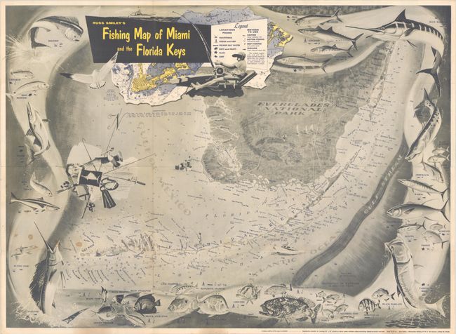
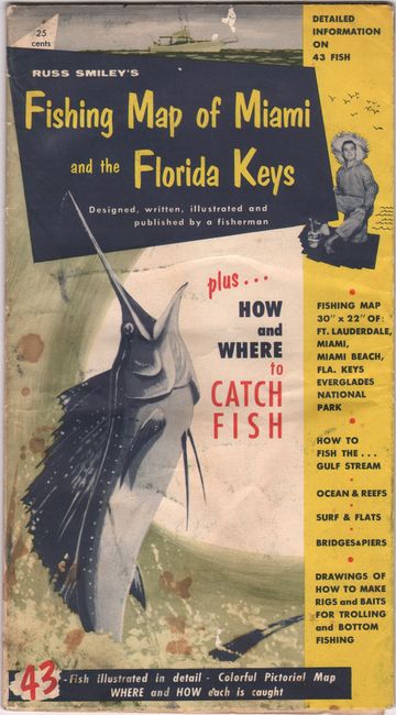
This pictorial map of South Florida by Russ Smiley informs the reader on "How and Where to Catch Fish." It covers the region including Fort Lauderdale, Miami, Miami Beach, Florida Keys, and Everglades National Park. A legend identifies various fishing locations including the Gulf Stream, Inland Salt Water, Bays, Flats and Surf as well as fishing methods to use including casting, bottom fishing, trolling, and more. Additional details are found in the coastal waters include soundings, bottom types, shoals, reefs, and more. Surrounding the map are illustrations of various fish species found in these waters including Dolphin, Sailfish, Tarpon, Blue Marlin, and many more. Features an inset of Key West and decorated by a compass rose composed of fishing and diving gear. The verso is filled with related information and advertisements. Folds into pictorial wrappers (5.5 x 10").
References:
Condition: B+
Issued folding with a few minor stains at lower left, one tiny hole only visible when held to light, and a couple of tiny splits at the fold junctions.


