Catalog Archive
Auction 201, Lot 250

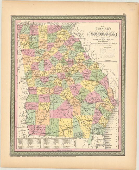
"A New Map of Georgia with Its Roads & Distances", Thomas, Cowperthwait & Co.
Subject: Georgia

Period: 1850 (dated)

Publication:

Color: Hand Color

Size:
11.7 x 14.2 inches
29.7 x 36.1 cm
Download High Resolution Image
(or just click on image to launch the Zoom viewer)

This handsome state map features good detail throughout and exhibits Mitchell's decorative rope borders. County configuration is current to 1850, with the new counties Clinch and Gordon delineated. The map displays numerous updates of towns and villages, rivers, canals, and railroads. Some distances are noted between cities along the main roads. A table at bottom gives the steamboat routes between Savannah and Augusta and Savannah and Charleston.

References:

Condition: B+

Bold contemporary color on a lightly toned sheet with a short edge tear in the right margin that has been closed on verso with tape.

Estimate: $120 - $150

Sold for: $50

Closed on 11/20/2024

Archived