Catalog Archive
Auction 201, Lot 257
NO RESERVE
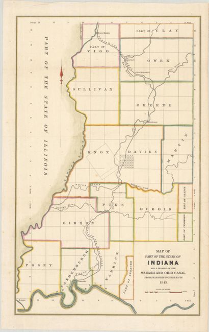
"Map of Part of the State of Indiana and a Profile of the Wabash and Ohio Canal from Evansville to Terre Haute", U.S. State Surveys

Subject: Western Indiana
Period: 1843 (dated)
Publication:
Color: Hand Color
Size:
11.3 x 18.1 inches
28.7 x 46 cm
Download High Resolution Image
(or just click on image to launch the Zoom viewer)
(or just click on image to launch the Zoom viewer)

