Subject: Boston, Massachusetts
Period: 1863 (circa)
Publication:
Color: Hand Color
Size:
22.1 x 28.3 inches
56.1 x 71.9 cm
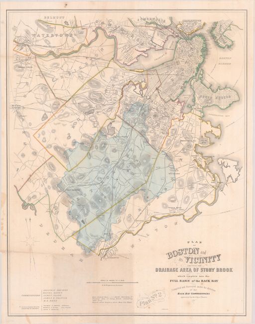
This large plan extends from the city of Boston west to Watertown and south to Fairmount showing street grids, roads, railroads, some property owners, churches, cemeteries and more. It prominently depicts a large drainage section of the Stony Brook in blue overprinting, covering most of West Roxbury. This area was subject to frequent flooding and by 1867, all of Stony Brook was placed underground in conduits to control the drainage issue. Surveyed by H.M. Wightman, lithographed by A. Meisel, and published by the Back Bay Commissioners of the City of Boston. We found no other sales records for this map and only five institutional examples on OCLC.
References:
Condition: B+
Issued folding with some light toning at bottom, minor foxing, and a few small holes along the upper and lower horizontal folds.


