Subject: New York
Period: 1851 (dated)
Publication:
Color: Hand Color
Size:
26.3 x 19.9 inches
66.8 x 50.5 cm
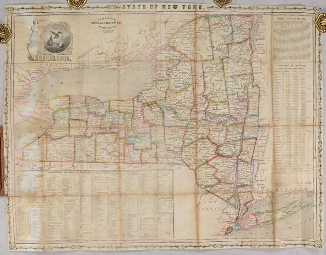
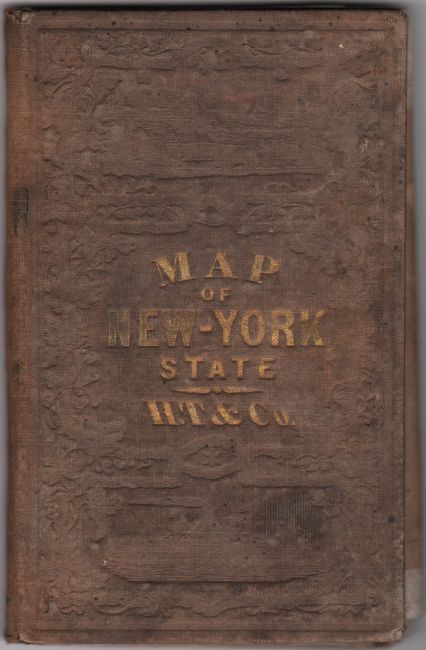
This wax-engraved pocket map of the state is delineated by county and is filled with scores of place names, rivers, lakes, and some topography. County seats are shown in all caps and the evolving railroad network is presented in red outline, primarily in the southern and western portions of the state. Large statistical tables include population by county for 1840 and 1850 and "Stations and Distances of Railroads In, and Running Out of, New York State." Surrounded by a decorative strapwork border and illustrated by the state motto Excelsior (Ever Upward) at top left. Folds into brown cloth boards (3.5 x 5.5") with gilt title on the front cover.
References:
Condition: B
Issued folding with light toning along the folds and moderate staining. A number of fold separations have been archivally repaired on verso. Covers are stained and lightly worn.


