Subject: New York City, New York
Period: 1953 (circa)
Publication:
Color: Printed Color
Size:
31.9 x 24.1 inches
81 x 61.2 cm
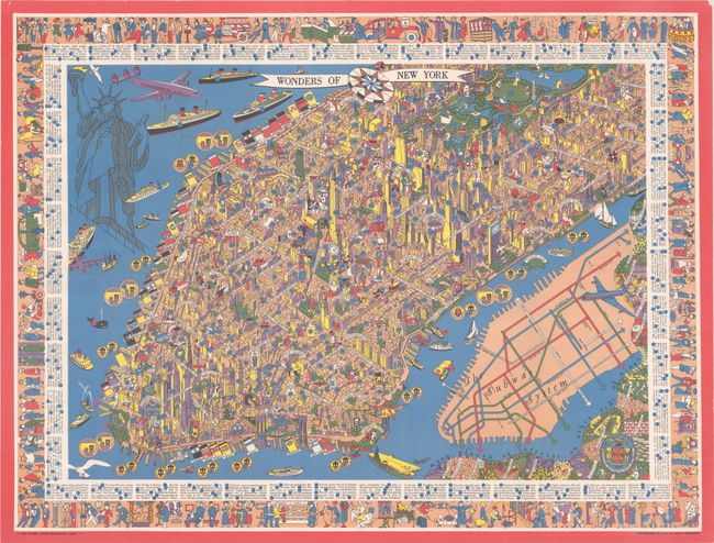
It is no surprise that this bold, pictorial map by Nils Hansell serves as the cover image for Stephen Hornsby's Picturing America: the Golden Age of Pictorial Maps, as it is one of the most sought-after 20th-century maps of Manhattan. By the 1950's, New York City was the business capital of the world, and this bird's-eye view illustrates the city's power with a bustling cityscape, three-dimensional skyscrapers, trans-Atlantic lines filling the harbors, and high-tech jet passenger planes flying overhead. The various neighborhoods are identified, such as Hell's Kitchen, Chelsea, Greenwich Village (here just "The Village"), Financial District, Lower East Side, and Times Square. Only major streets are named, and a numbered key surrounds the map identifying 300 locations and activities on the map. The border is filled with vignettes of everyday life in Manhattan, including a self-portrait of Hansell sketching on a large canvas at lower right. A simple diagram of the Manhattan subway system occupies the East River with an adjacent note that there are "many places of interest on other side of river." The use of saturated color makes this map particularly eye-catching, especially with vivid details such as the sun illuminating the western facades of the buildings in yellow. Hansell likely drew upon Charles Vernon Farrow's similar bird's-eye view from 30 years earlier, A Map of the Wondrous Isle of Manhattan, which also had a three-dimensional quality with bold colors. Printed by Lutz & Sheinkman.
References: Hornsby (Picturing America) p. 244 & plate 155; Rumsey #8982.
Condition: A
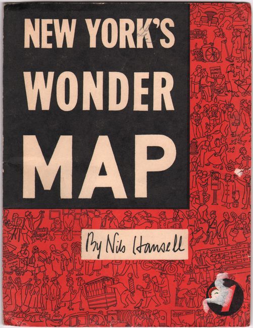
A clean and colorful example, issued folding, with a short edge tear and tiny chip in the upper corners, outside of map image. Covers have light wear, a tiny edge tear, and a bit of paper residue.


