Subject: Texas
Period: 1853 (dated)
Publication: Smith's Quarto, or Second Book in Geography
Color: Hand Color
Size:
8.8 x 10.4 inches
22.4 x 26.4 cm
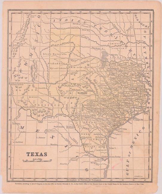
This school atlas map of Texas and the surrounding region is filled with place names and the locations of eight forts which served as defensive buffers with the Comanche Indians. County development is limited to the eastern third of the state. The Fannin Land District is shown west of Cooke County and below the Llano Estacado with no defined boundaries. Locates and names Native American tribes in Indian Territory. The population of Texas is given at 213,000. (8.8 x 10.2").
References:
Condition: B+
There are two 1.25" edge tears at left that have been closed on verso with archival tape, a few pencil notations in the image, and some minor dampstains at bottom.


