Catalog Archive
Auction 201, Lot 308

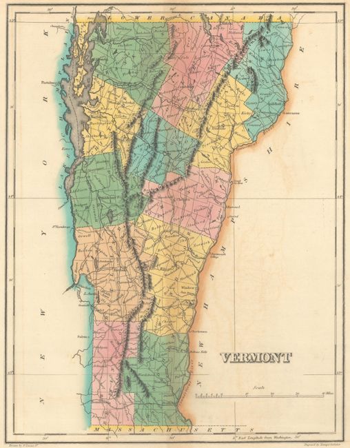
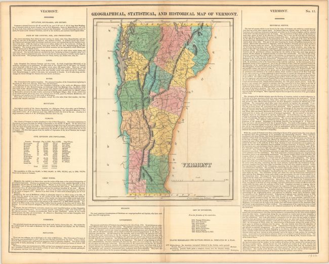
"Geographical, Statistical, and Historical Map of Vermont", Carey & Lea

Subject: Vermont

Period: 1822 (circa)

Publication: A Complete Historical, Chronological, and Geographical American Atlas

Color: Hand Color

Size:
9.5 x 12.3 inches
24.1 x 31.2 cm
Download High Resolution Image
(or just click on image to launch the Zoom viewer)

This map of the Green Mountain State is on a full folio sheet (22.0 x 17.7") with surrounding text describing boundaries, climate, chief towns, religion, commerce, government, history, and more. The map delineates twelve counties, and highlights the two principle battle sites of Hubbardstown and Bennington with small flags. Drawn by Fielding Lucas Jr. and engraved by Young and Delleker.

References:

Condition: B+

Full contemporary color with light toning along the centerfold and minor offsetting.

Estimate: $160 - $190

Sold for: $110

Closed on 11/20/2024

Archived