Subject: Southwestern United States & Mexico, California
Period: 1767 (published)
Publication:
Color: Black & White
Size:
7.9 x 12.4 inches
20.1 x 31.5 cm
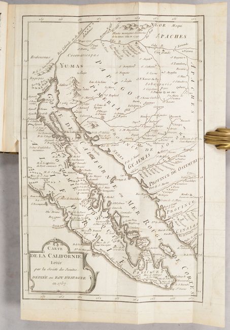
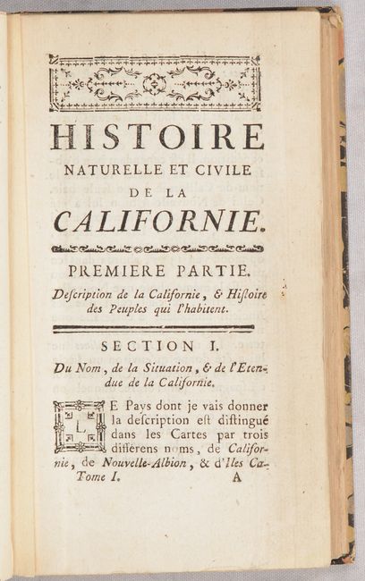
This is the French edition of Miguel Venegas' work which Howes describes as the "first attempt at a history of California." The first Spanish edition was published in 1757, the English edition in 1759, and then this French edition in 1767 based upon the English translation. Howes further notes that while the work was based upon Venegas 1739 manuscript, the editor Father Andres Marcos incorporated information from other sources. The uncommon and significant folding map, still bound into the first volume, is based upon the Fernando Consag model, which is updated from Kino's original maps of the region. It extends past the Colorado and shows Baja California, northwest Mexico and what will become the southern portion of Arizona. It presents, in great detail, the Gila River region, the missions and Indian towns of Pimeria Alta and Baja California. 3 total volumes (v1 - 360 pages, v2 - 375 pages, and v3 - 354 pages). Published by Durand in Paris. Rebound in marbled paper boards with gilt title labels on the spines.
References: Howes #V-69; Sabin #98843.
Condition: B+
The folding map is on watermarked paper with a repaired 2.75" fold separation at top right with minor loss and a minute amount of facsimile work. There are some tiny holes only visible when held to light and some faint offsetting. Text is clean and bright. Modern binding has light shelf wear.


