Catalog Archive
Auction 201, Lot 35
NO RESERVE
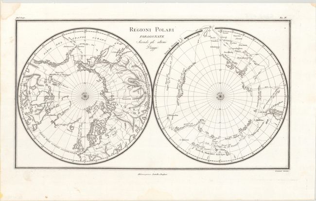
"Regioni Polari Paragonate Secondo Gli Ultimi Viaggi", Rossi, Luigi

Subject: Polar
Period: 1824 (circa)
Publication: Nuovo Atlante di Geografia Universale...
Color: Black & White
Size:
15.4 x 8.4 inches
39.1 x 21.3 cm
Download High Resolution Image
(or just click on image to launch the Zoom viewer)
(or just click on image to launch the Zoom viewer)

