Subject: South America
Period: 1767-73 (circa)
Publication:
Color: Hand Color
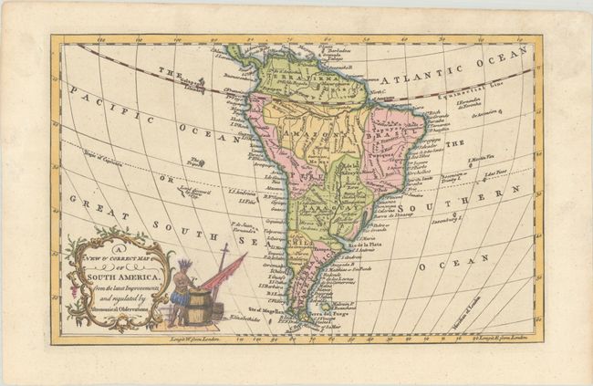
A. A New & Correct Map of South America. From the Latest Improvements, and Regulated by Astronomical Observations, by J. Cooke, from A New Universal Collection of Authentic and Entertaining Voyages and Travels, published 1767 (11.6 x 7.3"). This handsome map of the continent shows the mythical L. de los Xarayes and the ruins of Xeres, Ciudad Real, and La Concepcion. The Pampas are located in northern Terra Magellanica, to the northwest of the Desert Coast. Peru stretches from Quito south to the Atacama region in present-day Chili. At bottom left there is a ornate title cartouche with an adjacent vignette of an Indigenous figure hammering a barrel shut. Published in Edward Cavendish Drake's A New Universal Collection of Authentic and Entertaining Voyages and Travels; it was also published in William Henry Montague's A New and Universal History of England (circa 1771), with an imprint along the top neatline. Condition: A previous owner has drawn over some of the engraved lines in the vignette in ink, and there is marginal soiling.
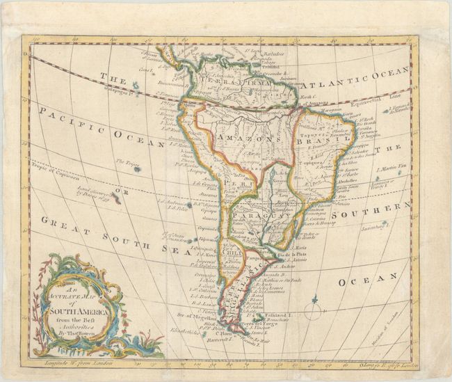
B. An Accurate Map of South America from the Best Authorities, by Thomas Bowen, from The General Gazetteer, circa 1773 (9.3 x 7.8"). This fine small map of the continent features excellent detail for a map of its size. Among the interesting features are the spurious lake Xarayes, various tribal names, a vaguely defined Falkland Islands, and a stretch of coastline in the Pacific discovered by Davis in 1639. The map is adorned with a baroque-style title cartouche at bottom left. Published in Richard Brookes's gazetteer. Reference: McCorkle (18th C. Geography Books) #22-4. Condition: A light impression, issued folding, now flat, with minor soiling. Remargined at top with old paper to accommodate framing.
References:
Condition: A
See description above.


