Subject: Northern England
Period: 1662 (circa)
Publication:
Color: Hand Color
Size:
19.6 x 16.2 inches
49.8 x 41.1 cm
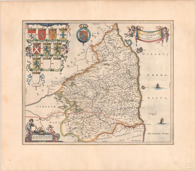
This decorative map of Northumberland extends from Newcastle upon Tyne to Carlisle in the south, and as far north as Berwick-upon-Tweed. Hadrian's Wall (here called the Pictes Wall) is prominently illustrated. The map is embellished with two sailing ships, putti holding aloft a banner with the title, a surveyor on the distance scale, and the coats of arms of important families in the region. Dutch text on verso, published between 1648-62.
References: Van der Krogt (Vol. II) #5390:2.
Condition: A
A dark impression with full contemporary color on a bright sheet with a large watermark of the god Atlas. There is a small worm track near the center of the image, and light toning and soiling along the edges of the sheet.


