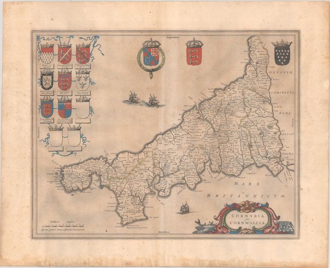
Subject: Southwestern England
Period: 1645 (circa)
Publication: Le Theatre du Monde ou Nouvel Atlas
Color: Hand Color
Size:
19.6 x 15.4 inches
49.8 x 39.1 cm
This attractive map of Cornwall in the far southwest corner of England extends from Plymouth to Land's End, and features good detail of political boundaries, towns, forests, and rivers. It is handsomely embellished with 11 coats of arms including the Royal Arms of Charles I as well as many local arms. The map is further embellished with three sailing ships and a title cartouche featuring local fish and metal. French text on verso published between 1645-48.
References: Van der Krogt (Vol. II) #5255:2.
Condition: B
A dark impression with full contemporary color, light printer's ink residue, scattered foxing, and dampstains confined to the bottom margin. The sheet is moderately toned on verso and there are a couple of short edge tears.


