Subject: Southeastern England
Period: 1623 (circa)
Publication: The Theatre of the Empire of Great Britain...
Color: Hand Color
Size:
19.9 x 15 inches
50.5 x 38.1 cm
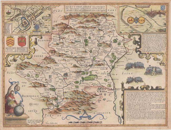
This is a classic decorative county map from John Speed’s important English atlas. Besides presenting the most up-to-date information in his maps, Speed also included detailed city plans; in this instance a plan of the city of Hertford and Verolandium, the ancient Roman town near St Albans. Based on John Norden's map of 1598, the map is richly embellished with battle scenes, coats of arms, and decorative cartouches with extensive text describing the county and its history. Third state, likely engraved by Renold Elstrack (although Jodocus Hondius' imprint still appears), and published by John Sudbury and George Humble. English text on verso with the printer's signature Aa.
References: Hodson (MCC-53) #7; cf. Shirley (BL Atlases) T.SPE-1b.
Condition: B+
A crisp impression on watermarked paper with an archivally repaired 3.75" centerfold separation at bottom. There is an extraneous crease at lower left.


