Subject: London, England
Period: 1870 (dated)
Publication:
Color: Hand Color
Size:
41.6 x 29.5 inches
105.7 x 74.9 cm
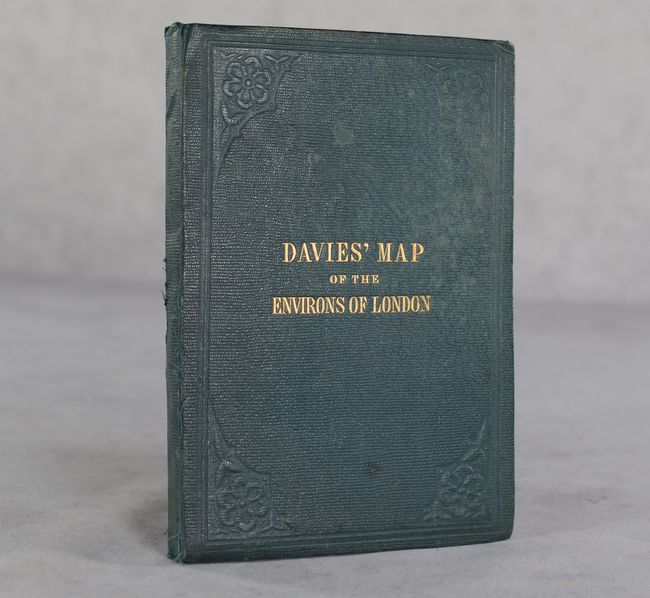
This intricately detailed plan of London was drawn and engraved by B.R. Davies and published by Edward Stanford. It extends well beyond London proper, covering the region from Potters Bar south to Chipstead and from Windsor east to Greenhithe. A key at bottom identifies the attractive coloring used in the map including completed railroads (red), railroads in progress (dashed black line), cemeteries (yellow), parks (green), and various boundaries (pale yellow, pink, and tan). Additional detail in the map includes individual buildings, villages, farms, estates, the road network, forests, rivers, elevation, and much more. Folds into green cloth-covered boards with gilt tile on the front cover.
References:
Condition: B+
A colorful example with a few minor mildew stains along the top and bottom border. Issued folding and dissected with linen. Covers have light wear, bumped corners, and some staining on the back cover.


