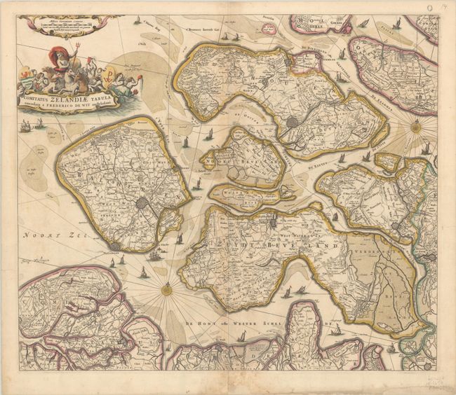
Subject: Southwestern Netherlands
Period: 1667 (circa)
Publication:
Color: Hand Color
Size:
22.2 x 18.1 inches
56.4 x 46 cm
This handsome map of Zeeland details the islands of Walcheren, Beveland, Schouwen, and Tholen within the Schelde estuary, and Flanders in the south. The map illustrates the topography, roads, towns, and fortified cities, including Middelburgh, Tolen, and Berg op Zoom. Neptune sits astride the aquatic-themed cartouche at top left, and sailing ships navigate among the islands. This is the first state, prior to the letter "O" being engraved at top right.
References: Carhart #131.
Condition: B+
A nice impression with full contemporary color, light soiling, minor toning, and a few tiny abrasions at bottom center. Professionally backed in linen to provide support to several dampstains at bottom that have caused some chips, short tears and paper weakness.


