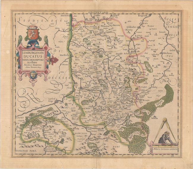
Subject: Northeastern Belgium
Period: 1603 (dated)
Publication: Gerardi Mercatoris - Atlas sive Cosmographicae
Color: Hand Color
Size:
17.7 x 15.4 inches
45 x 39.1 cm
This map of the former duchy of Limburg in present-day northeastern Belgium and southern Holland was done by Agidio Martini in 1603. Martini, a mathematician in Antwerp, was responsible for most of the maps of the Limburg region developed at that time and was copied extensively. This is one of the few maps directly accredited to him as the cartographer. Major cities shown on the map are Liege, Limburg, and Aachen. The large title cartouche incorporates the coat of arms and the distance scale includes a surveyor and a set of dividers. Latin text on verso, which includes a very nice historiated initial. Dated 1603 but published in 1630.
References: Van der Krogt (Vol. I) #3170:1A.
Condition: B+
A sharp impression with full contemporary color and light mat burn surrounding the map. There is light foxing at bottom center and a small abrasion near Limburg. There are archival repairs to a centerfold separation at bottom, two short tears in lower margin, and a few small worm holes in the blank margins.


