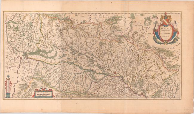
Subject: Western Europe, Rhine River
Period: 1630 (circa)
Publication:
Color: Hand Color
Size:
31.6 x 15.7 inches
80.3 x 39.9 cm
Large map of Alsace based on the work of Gerard Mercator. It covers the region surrounding the Rhine River from Basel in the south to Strasbourg in the north, and extends as far west as Granville and St. Die. Decorated with an elaborate title cartouche and two distance scales. French text on verso, published between 1643-50. Two sheets joined, as issued.
References: Van der Krogt (Vol. II) #2520:2.
Condition: B+
A crisp impression with full contemporary color, issued folding on lightly toned sheets with an extraneous vertical crease at right that has been pressed. There are a few short edge tears and fold separations confined to the blank margins.