Catalog Archive
Auction 201, Lot 474
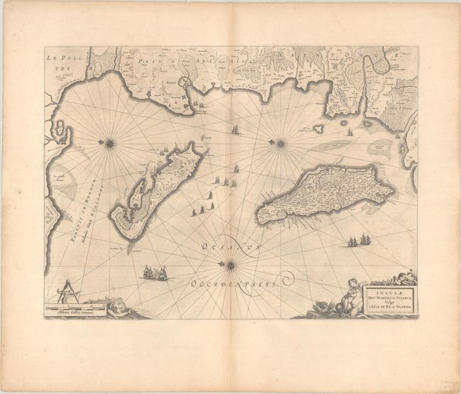
"Insulae Divi Martini et Vliarus, Vulgo l'Isle de Re et Oleron", Blaeu, Johannes

Subject: Western France
Period: 1663 (circa)
Publication: Le Grand Atlas
Color: Black & White
Size:
21.2 x 15.4 inches
53.8 x 39.1 cm
Download High Resolution Image
(or just click on image to launch the Zoom viewer)
(or just click on image to launch the Zoom viewer)

