Subject: Western France
Period: 1700 (circa)
Publication:
Color: Hand Color
Size:
24 x 18.1 inches
61 x 46 cm
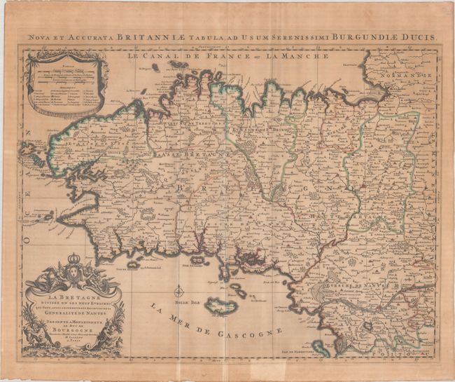
This is Jaillot's map of Brittany that was based on Sanson's map of the region. The map shows the nine bishoprics and extends to just past the Loire River in the south. Beautifully engraved detail depicts the mountains, forests, marshes, and various types of cities identified in the legend at top left. It is adorned with a fine, title cartouche featuring mer-men blowing conch shells and the royal French arms. Alternate Latin title above the map: "Nova et Acurata Britanniae Tabula, ad usum Serenissimi Burgundiae Ducis."
References:
Condition: B
A sharp impression with contemporary outline color on a lightly toned sheet with two extraneous vertical creases that have been pressed. There is a tear that enters the border at bottom that has been repaired with old paper on verso.


