Catalog Archive
Auction 201, Lot 479
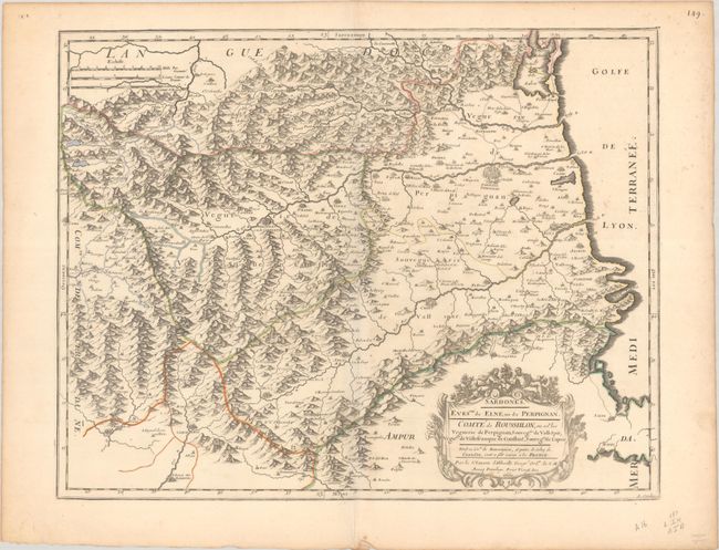
"Sardones. Evesche de Elne, ou de Perpignan. Comte de Roussillon, ou sot. les Veguerie de Perpignan...", Sanson, Nicolas

Subject: Southern France
Period: 1660 (dated)
Publication: Cartes Particulieres de la France…
Color: Hand Color
Size:
20.1 x 15.8 inches
51.1 x 40.1 cm
Download High Resolution Image
(or just click on image to launch the Zoom viewer)
(or just click on image to launch the Zoom viewer)

