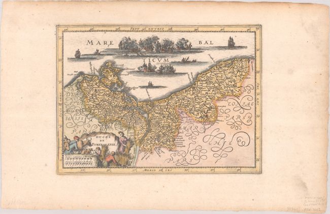
Subject: Northeastern Germany & Northwestern Poland
Period: 1734 (published)
Publication: Atlas Portatif
Color: Hand Color
Size:
10.1 x 7.3 inches
25.7 x 18.5 cm
This rare map was newly engraved for Henri Du Sauzet's 1734 edition of the Mercator/Cloppenburg atlas. Although the majority of the maps in this atlas were based on the Mercator folio-sized maps, this map is an entirely new composition. The geography closely resembles Jodocus Hondius' Pomeraniae Ducatus Tabula, which was also used by Willem Blaeu and copied by Jan Jansson. However, the decorative elements are completely unique. A fierce sea battle wages in the Baltic, with several ships shown sinking. The title cartouche depicts the farming and agriculture in the region. Blank verso.
References: Van der Krogt (Vol. III) #2190:353.2.
Condition: A
A crisp impression on a bright sheet with light soiling in the blank margins, toning along the top edge of the sheet, and a small worm hole in the bottom margin.


