Catalog Archive
Auction 201, Lot 521
"Grande Pologne et Prusse, avec les Frontieres de la Misnie, Lusace, Moravie et Lithuanie, Dresse sur Plusieurs Cartes Manuscrites ou Imprimees, et sur les Observations...", Aa, Pieter van der
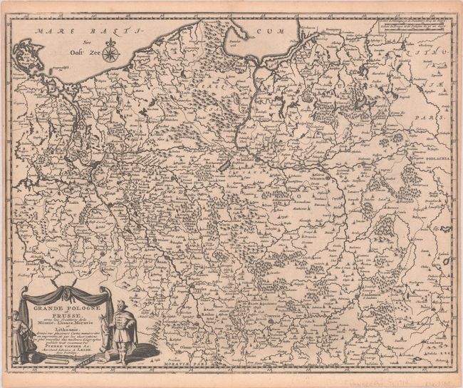
Subject: Poland
Period: 1714 (circa)
Publication:
Color: Black & White
Size:
14.4 x 11.5 inches
36.6 x 29.2 cm
Download High Resolution Image
(or just click on image to launch the Zoom viewer)
(or just click on image to launch the Zoom viewer)