Subject: Czech Republic & Southwestern Poland
Period: 1742 (dated)
Publication:
Color: Hand Color
Size:
21 x 19.2 inches
53.3 x 48.8 cm
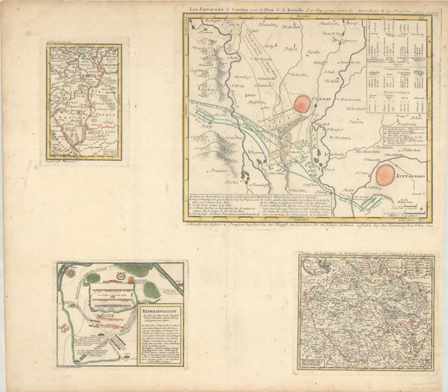
This interesting sheet includes two maps and two related battle plans depicting the theater for the First Silesian War between Prussia and Austria, which was part of the War of the Austrian Succession. At top left is a map of the region in southwestern Poland between Wroclaw, Opole and Nysa, which includes a color-coded legend to identify the locations and movements of troops. The smaller battle plan below this map focuses on the Battle of Mollwitz near the town of Brzeg, which was fought on 10 April 1741 and resulted in a Prussian victory. At bottom right is a map of the majority of present-day Czech Republic, bounded by the cities of Dresden, Regensburg and Olomouc. The large battle plan above it shows the Battle of Czaslau (also known as the Battle of Chotusitz), which was fought on 17 May 1742 and also resulted in a Prussian victory. The march routes and encampments of the Prussians are outlined in blue, while those of the Austrians are outlined in yellow.
References:
Condition: A
Excellent impressions with full contemporary color on a bright sheet with light soiling, minor foxing, and toning along the top edge of the sheet.


