Catalog Archive
Auction 201, Lot 537

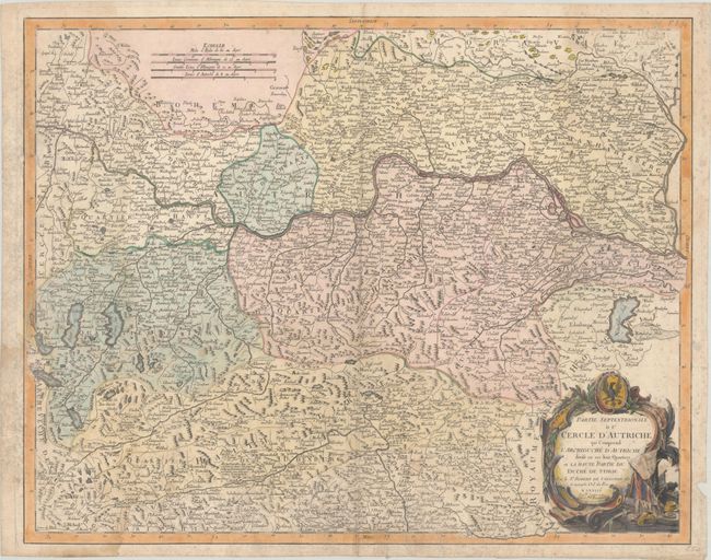
"Partie Septentrionale du Cercle d'Autriche qui Comprend l'Archiduche d Autriche Divise en ses huit Quartiers...", Robert de Vaugondy/Santini
Subject: Austria

Period: 1777 (dated)

Publication: Atlas Universel

Color: Hand Color

Size:
24.1 x 19 inches
61.2 x 48.3 cm
Download High Resolution Image
(or just click on image to launch the Zoom viewer)

This handsome map covers the majority of Austria, omitting only the narrow western corridor, with fine detail of the Danube. The topography of the region is intricately rendered, and there are several place names identified. It shows the fortifications of Vienna and is adorned with a military-themed title cartouche. Santini first published a complete re-engraving of Robert de Vaugondy's map circa 1776; this is the second state, with Remondini's imprint added.

References:

Condition: B

A crisp impression on a sheet with an "R" watermark, a dampstain at bottom left, light foxing, a small hole in the top border, and a chip in the right margin.

Estimate: $140 - $170

Unsold

Closed on 11/20/2024

Archived