Catalog Archive
Auction 201, Lot 539
"Circuli Austriaci Pars Septentrionalis in qua Archiducatus Austriae et Ducatus Stiriae Accuratissime Divisi Ostenduntur", Wit, Frederick de
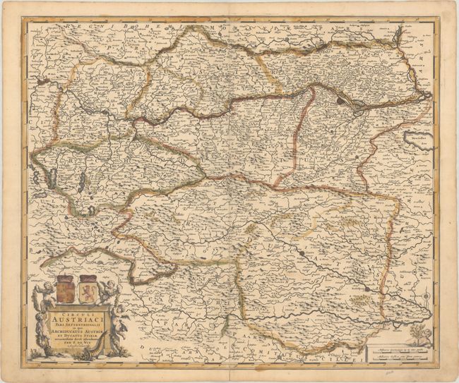
Subject: Eastern Austria
Period: 1680 (circa)
Publication:
Color: Hand Color
Size:
23 x 19.4 inches
58.4 x 49.3 cm
Download High Resolution Image
(or just click on image to launch the Zoom viewer)
(or just click on image to launch the Zoom viewer)