Catalog Archive
Auction 201, Lot 545
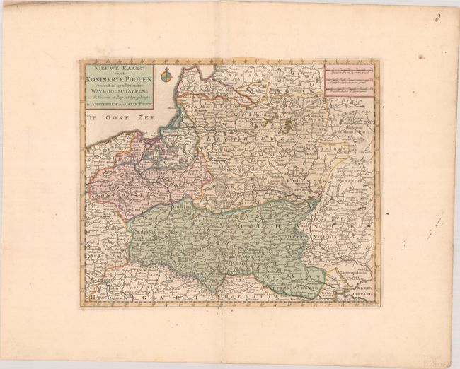
"Nieuwe Kaart van t' Koninkryk Poolen Verdeelt in zyn Byzondere Waywoodschappen; na de Nieuwste Stelling in t' Ligt Gebragt", Tirion, Isaac

Subject: Eastern Europe, Poland
Period: 1733 (dated)
Publication: Nieuwe en Beknopte Hand Atlas
Color: Hand Color
Size:
13.7 x 11.4 inches
34.8 x 29 cm
Download High Resolution Image
(or just click on image to launch the Zoom viewer)
(or just click on image to launch the Zoom viewer)

