Catalog Archive
Auction 201, Lot 599
"Nouvelle Carte des Conciles Generaux et Particuliers qui se sont Tenus en Europe, en Asie, en Afrique, et en Amerique...", Chatelain, Henry Abraham
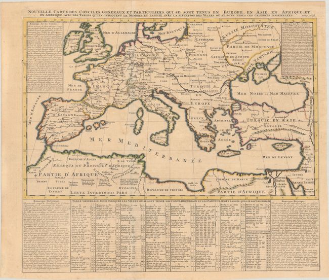
Subject: Mediterranean
Period: 1720 (circa)
Publication: Atlas Historique…
Color: Hand Color
Size:
22 x 18.7 inches
55.9 x 47.5 cm
Download High Resolution Image
(or just click on image to launch the Zoom viewer)
(or just click on image to launch the Zoom viewer)