Catalog Archive
Auction 201, Lot 600
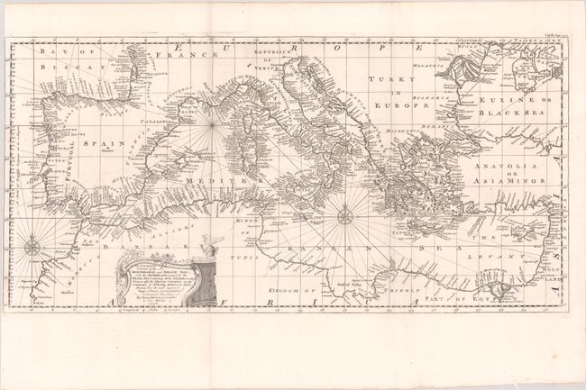
"An Accurate Chart of the Mediterranean and Adriatic Seas; with the Archipelago & Part of the Black Sea Exhibiting All the Islands in Those Seas, as Also, the Adjacent Countries on the Continents of Europe, Africa & Asia...", Bowen, Emanuel

Subject: Mediterranean
Period: 1748 (dated)
Publication: Navigantium Atque Itinerantium Bibliotheca...
Color: Black & White
Size:
23 x 11.3 inches
58.4 x 28.7 cm
Download High Resolution Image
(or just click on image to launch the Zoom viewer)
(or just click on image to launch the Zoom viewer)

