Subject: Eastern Mediterranean & Middle East
Period: 1685 (circa)
Publication:
Color: Hand Color
Size:
22.6 x 19.4 inches
57.4 x 49.3 cm
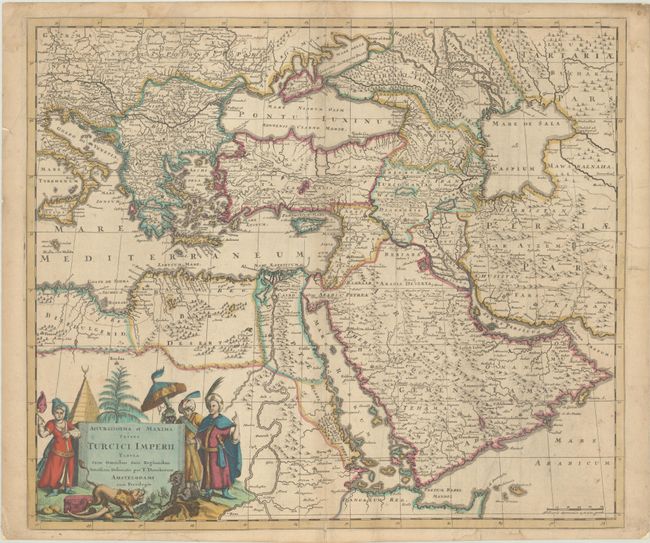
This rare map is derived from Frederik de Wit's 1665 map of the region and covers the Turkish Empire at the height of its power. The region extends from the Balkans to Persia and from Northern Africa through the Arabian Peninsula, and is filled with place names, topographical features, and political boundaries. In contrast to De Wit's map, the Caspian Sea is drawn in a square shape, rather than the oval shape found on most Dutch maps of the 17th century. In addition, Danckerts has embellished the map with a new cartouche featuring costumed figures, elephant tusks and a pair of lions. This map was originally published by Justus Danckerts, but here has the imprint changed to that of his son, Theodore Danckerts.
References: Ankary #84; Tibbetts #142.
Condition: B
A nice impression with full contemporary color on a sheet with minor toning, light soiling, and a few dampstains along the edges of the sheet. The right half of the sheet and part of the left margin have been backed with paper, repairing short centerfold separations and a 5" tear through Persia.


