Subject: Middle East & Cyprus
Period: 1933 (dated)
Publication:
Color: Printed Color
Size:
39.5 x 26.4 inches
100.3 x 67.1 cm
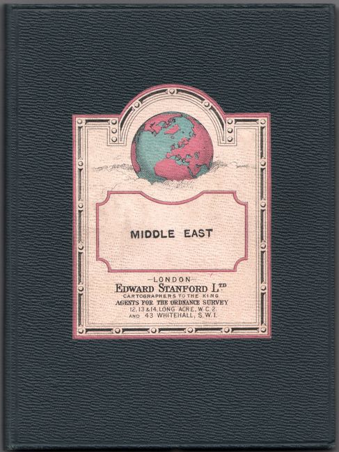
This handsome and detailed map covers the region from Izmir to Isfahan at an interesting period. The Levant States Mandated to France include the states of Latakia, Lebanon, Jabal al-Druze, and Syria. Palestine and Trans-Jordan are mandated to Great Britain, and Cyprus is a royal colony. In the Caucasus, Dagestan, Armenia, Azerbaijan, Nakhchivan, and part of Georgia are delineated. South of Iraq is a neutral At Tawal territory. Military and civil aerodromes and landing grounds are located with red diamonds, triangles, and circles. Stanford issued other editions of this map in 1935, 1939, and 1940, but this appears to be the earliest. Dissected and backed in linen, as issued. Folds into dark navy boards (5.5 x 7.4") with title panel on front cover.
References:
Condition: A
Issued folding and backed in linen. Covers have minor wear.


