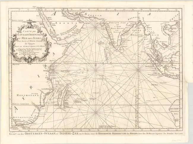
Subject: Indian Ocean
Period: 1747 (circa)
Publication: Historische Beschryving der Reizen
Color: Black & White
Size:
18.9 x 13.6 inches
48 x 34.5 cm
This chart covering from South Africa through to Western Australia was reduced from Bellin's large-scale chart of the region and provides great detail of the islands and coastlines. The locations where latitude and longitude were measured, both on land and at sea, are noted throughout the map. Rhumb lines, fleur-de-lys, and a delicate title cartouche make this a very attractive sheet. This is the Dutch edition, with a different cartouche design and an alternate title below the neatline at bottom: Kaart van den Oostersen-Oceaan, of Indiese-Zee, om te Dienen voor de Historische Beschryving der Reizen.
References:
Condition: A
A crisp impression, issued folding on a bright sheet with a small fleur-de-lis watermark. There is a binding trim at right with an associated binding tear that is confined to the blank margin and has been closed on verso with archival materials.


