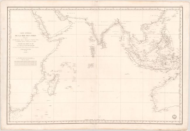
Subject: Indian Ocean
Period: 1841 (dated)
Publication:
Color: Black & White
Size:
34.9 x 23.4 inches
88.6 x 59.4 cm
This large French chart covers all the coastlines of the Indian Ocean from eastern Africa to southeastern Asia and western Australia. It features fine navigational details including numerous soundings, shoals, and offshore islands. The region around Southeast Asia is particularly well rendered. Inland detail is limited to rivers and some place names. The engraved seal of the Depot de la Marine appears along the bottom border, and the price of "Prix Deux Francs" is below it.
References:
Condition: B+
On watermarked paper that has been backed with tissue to reinforce and repair short centerfold separations at top and bottom. There is a touch of surface soiling.


