Catalog Archive
Auction 201, Lot 691
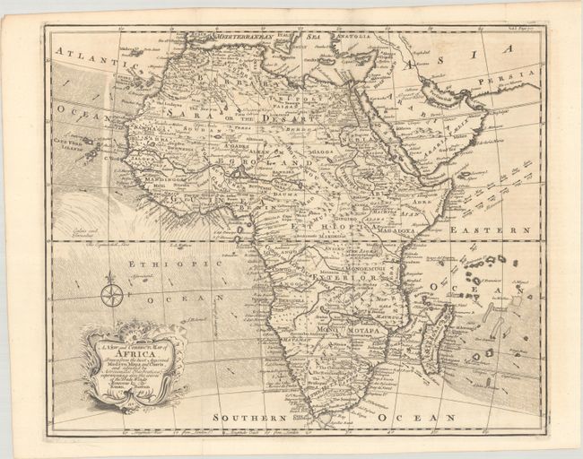
"A New and Correct Map of Africa. Drawn from the Most Approved Modern Maps and Charts, and Adjusted by Astronomical Observations; Representing Also the Course of the Trade Winds Monsoons &c.", Bowen, Emanuel

Subject: Africa
Period: 1748 (dated)
Publication: Navigantium Atque Itinerantium Bibliotheca...
Color: Black & White
Size:
17.6 x 14.5 inches
44.7 x 36.8 cm
Download High Resolution Image
(or just click on image to launch the Zoom viewer)
(or just click on image to launch the Zoom viewer)

