Catalog Archive
Auction 201, Lot 7

"Introduction a la Geographie de la Corespondance du Globe Terrestre ou Mappe-Monde avec la Sphere Celeste par les Cercles, les Lignes, et les Points...", Fer, Nicolas de
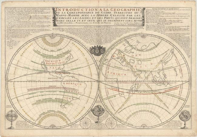
Subject: World

Period: 1705 (dated)

Publication: Atlas ou Recueil de Cartes Geographiques...

Color: Hand Color

Size:
27.5 x 18 inches
69.9 x 45.7 cm
Download High Resolution Image
(or just click on image to launch the Zoom viewer)

This large and boldly engraved double-hemispheric map shows California as an Island. The continents are devoid of information as the focus of this map are the geographical terms associated with a terrestrial globe, such as latitude and longitude, circles of latitudes, temperate zones, antipodes, etc. The lengthy note at top describes the globe and the various terms used to describe both geography and the globe. Three armillary spheres illustrate additional terms, while two wind roses name the winds in the oceans and the Mediterranean Sea. A very uncommon map.

References: Pastoureau, FER II C [4].

Condition: B+

Contemporary outline color on a sheet with a rosary beads watermark, light soiling, a few tiny worm holes, an extraneous crease in the left half of the sheet, and a few tiny chips and tears along the edges of the sheet.

Estimate: $350 - $425

Sold for: $190

Closed on 11/20/2024

Archived