Subject: Egypt, Alexandria
Period: 1665-83 (circa)
Publication:
Color: Hand Color
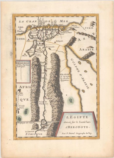
A. L'Egipte Dressee sur le Second Livre d'Herodote, by Pierre Duval, from Diverses Cartes et Tables pour la Geographie Ancienne, circa 1665 (6.3 x 9.2"). This finely engraved map of ancient Egypt is based on the work of Greek geographer Herodotus. There is terrific detail of the Nile River valley. The map is distinguished by its bold rocky mountain ranges. A small inset indicates the length of an Egyptian surveyor's cord. Condition: A nice impression on a watermarked sheet with marginal toning.
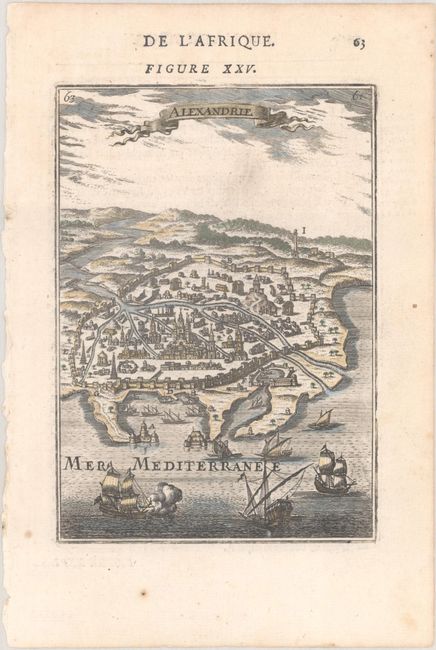
B. Alexandrie, by Alain Manesson Mallet, from Description de l'Univers, circa 1683 (4.1 x 5.9"). This handsome small view depicts the great Egyptian city from the vantage of the Mediterranean. There is excellent detail of fortifications and architecture for a map of this size, with features like Pompey's Pillar and the Citadel of Qaitbay. Several ships fill the waters in the foreground. Title appears in a banner-style cartouche. French text on verso. Condition: There is a tiny abrasion near bottom of engraved image.
References: Pastoureau, MANESSON-MALLET I [280] & DUVALVII A [13]
Condition: A
See description above.


