Catalog Archive
Auction 201, Lot 71
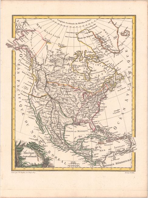
"Amerique Septentrionale", Tardieu, Jean Baptiste Pierre

Subject: North America
Period: 1812 (circa)
Publication: Atlas Complet Du Precis De La Geographie Universelle...
Color: Hand Color
Size:
9.3 x 11 inches
23.6 x 27.9 cm
Download High Resolution Image
(or just click on image to launch the Zoom viewer)
(or just click on image to launch the Zoom viewer)

