Subject: School Atlases
Period: 1823 (circa)
Publication:
Color: Hand Color
Size:
9.3 x 11.3 inches
23.6 x 28.7 cm
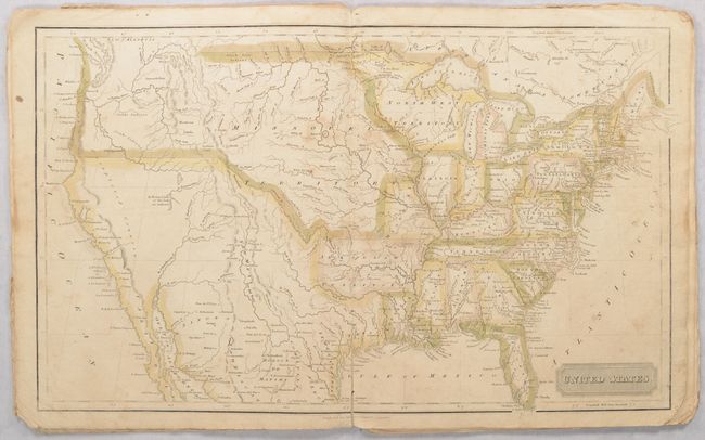
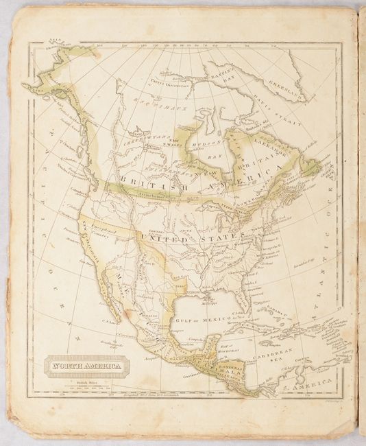
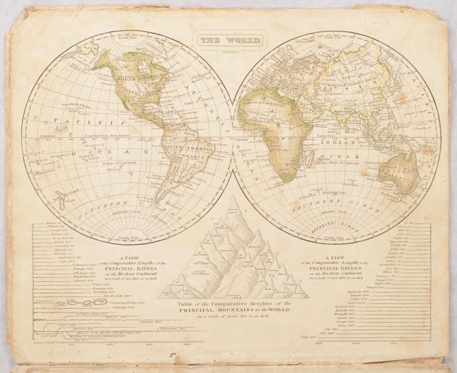
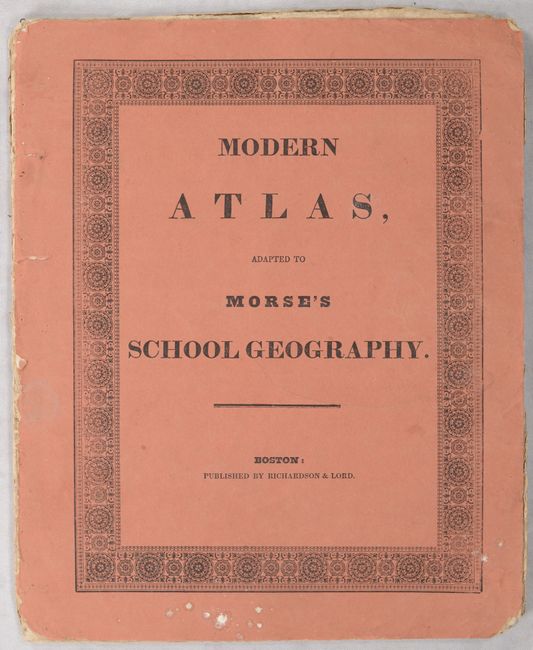
This atlas consists of seven single-page maps and a double-page map of the United States. The U.S. map shows Arkansaw Territory in its large configuration and an oversized Missouri Territory streches from the Missouri River to the Pacific Ocean. The northwestern boundary between the United States and the British possessions in Canada is not delineated, reflecting the joint occupation of Oregon country. Mexico controls the American Southwest including Texas. The single-page maps include the world, North America, South America, Europe, Africa, Asia, and an outline map of the continents. Published by Richardson & Lord in Boston. Salmon paper wrappers with advertisements for "Morse's Geographical Works" on the back cover.
References:
Condition: B
Contemporary outline color with moderate soiling, staining and roughness at the sheet corners. The double-page United States map has an archivally repaired 2" centerfold separation at bottom. Disbound with covers present, which have some light soiling and wear.


