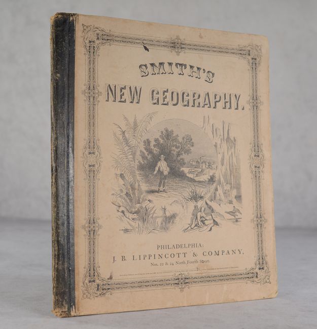
Subject: School Atlases, Jefferson
Period: 1861 (published)
Publication:
Color: Hand Color
Size:
11.8 x 13.5 inches
30 x 34.3 cm
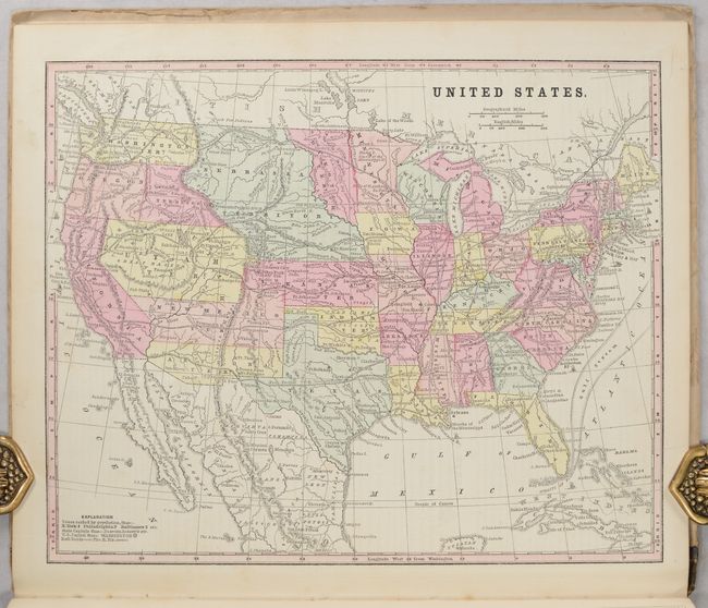
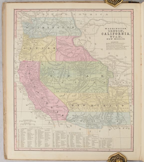
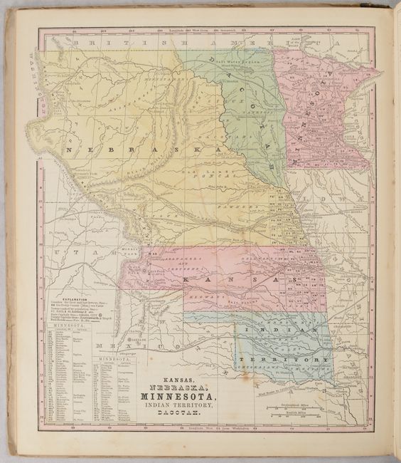
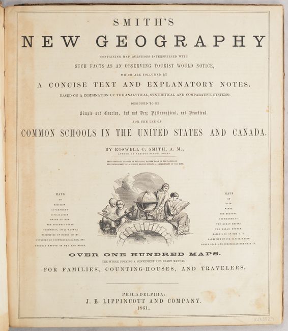
This complete Civil War era school atlas contains "over 100 maps," which includes 31 full-page maps and numerous other small maps interspersed within the text. This atlas is notable for containing three maps locating the ephemeral Jefferson Territory, including the map of the United States, Kansas, Nebraska, Minnesota, Indian Territory, Dacotah, and Washington, Oregon, California, Utah, New Mexico. This extralegal and unrecognized territory of the United States existed from October 24, 1859 until the creation of the Colorado Territory on February 28, 1861. Each of these maps presents Kansas extending to the Rocky Mountains with the overlapping Jefferson Territory shown along the Front Range. Both the U.S. map and western U.S. map also show Arizona occupying the southern part of New Mexico Territory indicating the Confederate Territory of Arizona. 92 pages. Hardbound in contemporary printed paper covered boards with leather spine. Published by J.B. Lippincott & Company in Philadelphia.
References:
Condition: B+
Contents are remarkably clean and bright with an occasional spot of foxing and a few pages with mild staining from leaf remnants pressed in the book, including the central U.S. map (third image). Title page has some minor toning at left. Covers have some soiling and shelf wear.


