Subject: Miscellaneous Books
Period: 1797 (published)
Publication:
Color: Black & White
Size:
5.5 x 8.5 inches
14 x 21.6 cm
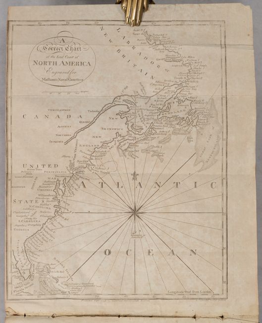
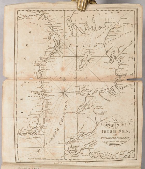
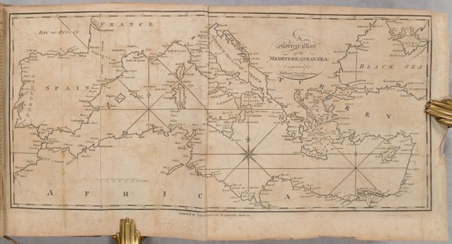
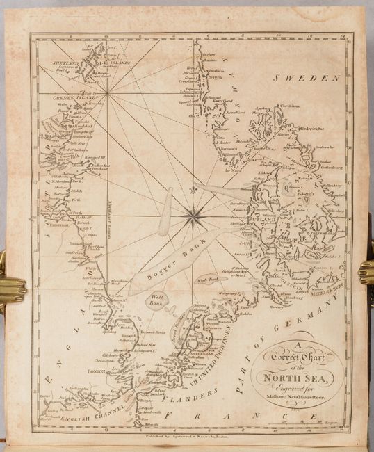
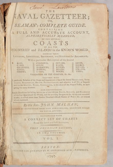
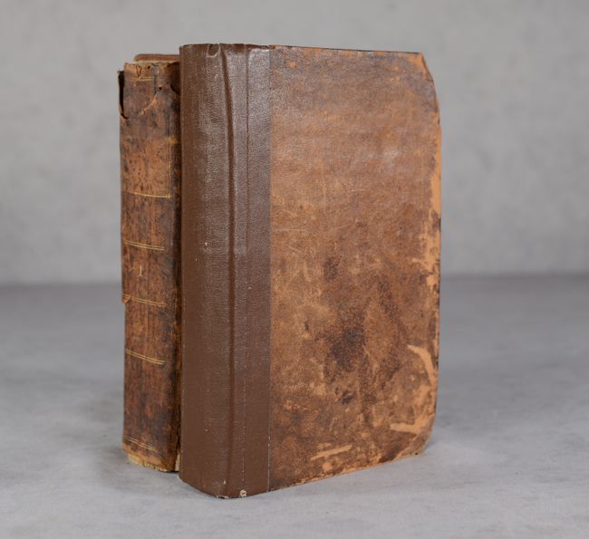
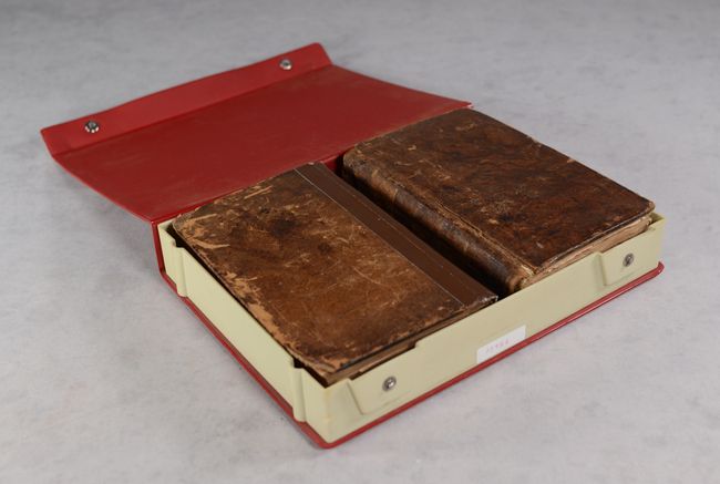
This is the first American edition of Malham's Naval Gazetteer, printed and sold by W. Spotswood and J. Nancrede in Boston. It contains 13 of the 17 called for charts, missing the charts of the world, western North America, South America and West Indies. Of particular interest is A Correct Chart of the East Coast of North America (7.1 x 9.1"). This handsome chart, which is dated 1796, traces the coast of the young United States north to Canada. Although no borders are shown, a majority of the early states are named, including Vermont and Kentucke, the latest additions to the nation at the time of publication. Numerous towns and major cities, Indian tribes, harbors, sounds, banks, and more are located. The name Indiana appears despite the fact that the map pre-dates the creation of the Indiana Territory in 1800 (likely a reference to the Indiana Company). A note by Salvador or Guanahani (San Salvador) in the Bahamas reads, "First Land seen by Columbus 1492." There is a compass rose capped with fleur-de-lis in the Atlantic that radiates rhumb lines. The other charts in volume 1 include the southern coast of Africa, west coast of Africa, Baltic Sea, Bay of Biscay, English Channel and Irish Sea. Volume 2 charts are the coast of Portugal, coast of Hindostan, Mediterranean Sea, Indian Sea, North Sea, and German Sea. Hardbound in contemporary leather. Housed in a modern clamshell case. Volume 2 is signed on the title page by William Salter, the last surviving member of the crew of the USS Constitution, also known as "Old Ironsides."
References: McCorkle (18th Century Geography Books) #253.
Condition: B
The folding maps in volume I are moderately foxed, and the text has generally light foxing. The folding maps in volume 2 have more significant toning, foxing and offsetting, and the text is moderately toned and foxed. Volume 1 text block is loose, covers are moderately worn and nearly detached. Volume 2 has been crudely reinforced with binder's tape on the spine, and the boards (which appear to be mismatched) are scuffed and worn.


