Subject: References, Scandinavia
Period: 2002-06 (published)
Publication:
Color: Printed Color
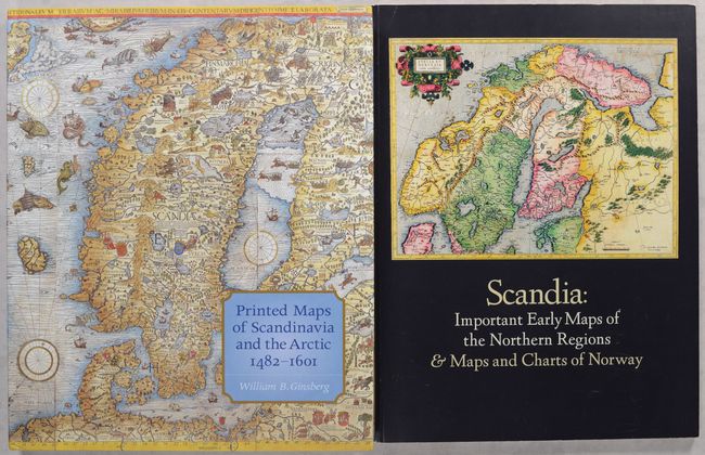
A. Printed Maps of Scandinavia and the Arctic, 1482-1601, by William B. Ginsberg, published 2006 (9.8 x 11.9"). This useful reference by William B. Ginsberg is "the first scholarly cartobibliography of the far north." Its cartobibliography includes 50 maps, spanning from the late 15th century to 1601. The book also includes an introductory essay on the depiction of Scandinavia in early editions of Ptolemy's Geographia, the first English translation of Olaus Magnus' Opera Breve, and helpful appendices and indices. It features more than 180 illustrations, many of them in color. 214 pages. Hardbound in beige cloth with an illustrated dust jacket. Condition: Like new. (A+)
B. Scandia: Important Early Maps of the Northern Regions & Maps and Charts of Norway, by William B. Ginsberg, published 2002 (9.0 x 12.1"). This catalogue was published in conjunction with a 2002 exhibition at Scandinavia House: The Nordic Center in America that was drawn from the collection of William B. Ginsberg and his wife, Inger Gundersen Ginsberg. It illustrates some of the earliest known maps of the northern regions, which are beautifully drawn and highly detailed, and includes important works from Ginsberg's cartographic collection. The catalogue is a tribute to his scholarship and passion. A must for any collector of maps of the Northern Regions. 96 pages with over 75 illustrations. Bound in illustrated paper covers. Condition: Contents are near fine. Covers have minor scuffs. (A)
References:
Condition:
See description above.


