Subject: References, Asia
Period: 2008 (published)
Publication:
Color: Printed Color
Size:
6.5 x 9.8 inches
16.5 x 24.9 cm
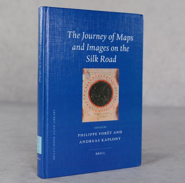
Edited by Philippe Foret and Andreas Kaplony, this interesting and in-depth volume analyzes the exchange of maps, charts, and other cartographic printed materials transmitted and exchanged along the Silk Road. Featuring contributions by 10 different scholars, the book is divided into 4 parts: The Buddhist Road, The Mongol Road, Within the Islamic World, and the Mediterranean Road. Illustrated with 70 images and a fold-out map of the Silk Road network, with several in color. Published by Brill, as Volume 21 of Brill's Inner Asian Library. 243 pages. Hardbound with illustrated covers.
References:
Condition: A
Near fine with slightly bumped corners.