Catalog Archive
Auction 202, Lot 104
"Map of the European Settlements in North America", Kitchin, Thomas
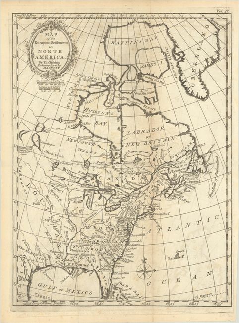
Subject: Colonial Eastern United States & Canada
Period: 1779 (published)
Publication: A Philosophical and Political History…in the East and West Indies
Color: Black & White
Size:
9.4 x 12.6 inches
23.9 x 32 cm
Download High Resolution Image
(or just click on image to launch the Zoom viewer)
(or just click on image to launch the Zoom viewer)