Catalog Archive
Auction 202, Lot 108

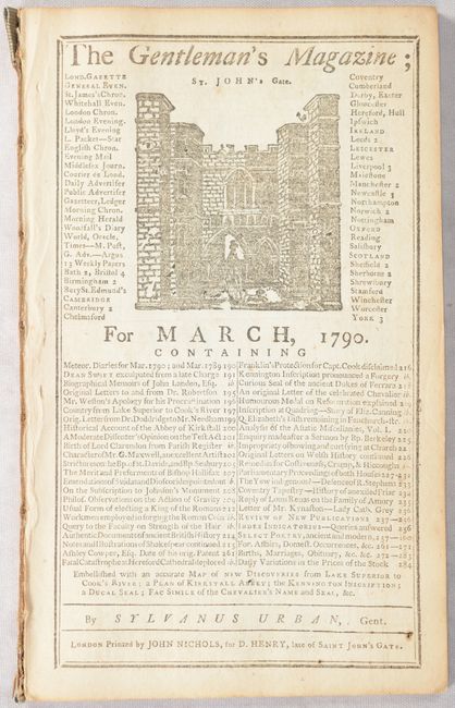
"A Map Shewing the Communication of the Lakes and the Rivers Between Lake Superior and Slave Lake in North America [bound in] The Gentleman's Magazine; for March, 1790...", Anon.

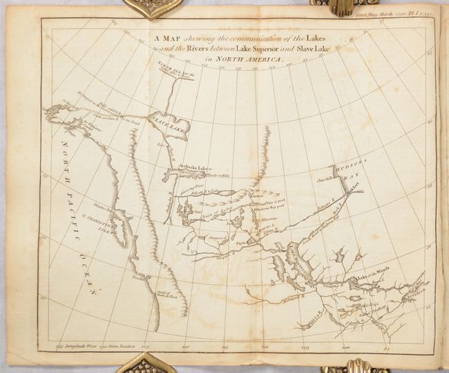
Subject: Western Canada & Alaska

Period: 1790 (published)

Publication: Gentleman's Magazine

Color: Black & White

Size:
9.3 x 7.8 inches
23.6 x 19.8 cm
Download High Resolution Image
(or just click on image to launch the Zoom viewer)

This intriguing map is based on the map and report by Peter Pond in 1787. The map traces the route from Lake Superior to Lake Winnipeg and then through an interconnected chain of lakes and rivers to Arabaska Lake and Slave Lake. The most interesting feature is the speculative river flowing out of Slave Lake, over "falls said to be the largest in the known world," and emptying into Cook Inlet in Alaska; a remarkable journey considering the topography. Pond's map influenced Alexander Mackenzie's quest to find the Northwest Passage in his famous expedition in the region. The map is still bound in the complete March 1790 issue.

References: Hayes #103; Jolly #GENT-283; Kershaw #1159; Wheat (TMW) #222.

Condition: B

The folding map has some offsetting and minor foxing. Text is lightly toned. Disbound.

Estimate: $200 - $230

Sold for: $120

Closed on 2/12/2025

Archived